Fayl:Belarus adm location map.svg

Faylın orijinalı (SVG faylı, nominal olaraq 1.626 × 1.451 piksel, faylın ölçüsü: 238 KB)
| Bu fayl "Vikimedia Commons"dadır və digər layihələrdə istifadə edilə bilər. |
 |
Faylın təsvir səhifəsinə get |
Xülasə
| İzah |
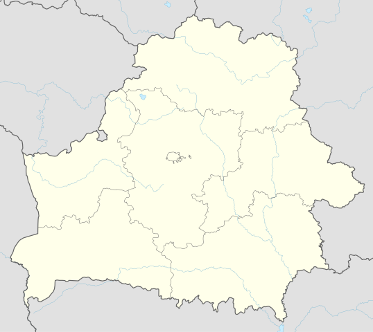
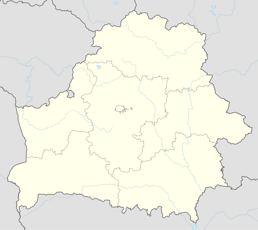
Deutsch: Positionskarte von Weißrussland
English: Location map of Belarus
|
||||||||||||
| Tarix | |||||||||||||
| Mənbə |
Own work using:
|
||||||||||||
| Müəllif | NordNordWest | ||||||||||||
| SVG genesis | This map was created with Adobe Illustrator.
|
||||||||||||

Lisenziya
Usage of this file with:

explanatory notes: Legally binding is only the full legalcode. For a free usage I recommend to respect the following licence conditions:
1. Provide my name as given above: NordNordWest,
2. a copy of, or the URI for, the applicable license: https://creativecommons.org/licenses/by-sa/3.0/de/legalcode,
3. the title of the work,
4. in the case of an adaptation, a credit identifying the use of the work in the adaptation.
This license and the rights granted hereunder will terminate automatically upon any breach by you of the terms of this license. Any of the above conditions can be waived if you get permission from the copyright holder. If you have questions or wish differing conditions, please contact me through nnwest or my discussion page ![]() t-online.de
t-online.de
- Azadsınız:
- paylaşmaq – əsəri köçürmək, paylamaq və ötürmək üçün
- remiks etmək – əsəri adaptasiya etmək
- Aşağıdakı şərtlərə riayət etməklə:
- istinad – Müvafiq kredit verməlisiniz, lisenziyaya bir keçid verməlisiniz və dəyişikliklərin olub olmadığını bildirməlisiniz. Bunu hər hansı bir ağlabatan şəkildə edə bilərsiniz, ancaq lisenziyalaşdırıcının sizi və ya istifadənizi təsdiqləməsini təklif edən bir şəkildə deyil.
- bənzər paylaşma – Əsəri remix edirsinizsə, dəyişdirirsinizsə və ya üzərində iş aparırsınızsa, öz töhfələrinizi orijinalda olduğu kimi eyni və ya uyğun lisenziya altında yayımlamalısınız.

Faylın tarixçəsi
Faylın əvvəlki versiyasını görmək üçün gün/tarix bölməsindəki tarixlərə klikləyin.
| Tarix/Vaxt | Kiçik şəkil | Ölçülər | İstifadəçi | Şərh | |
|---|---|---|---|---|---|
| indiki | 09:51, 6 may 2016 | | 1.626 × 1.451 (238 KB) | NordNordWest | c |
| 16:52, 5 may 2016 |  | 1.626 × 1.451 (842 KB) | NordNordWest | c | |
| 19:04, 10 sentyabr 2014 |  | 1.626 × 1.451 (249 KB) | NordNordWest | c | |
| 18:54, 10 sentyabr 2014 |  | 1.626 × 1.451 (250 KB) | NordNordWest | == {{int:filedesc}} == {{Information |Description= {{de|1=Positionskarte von Weißrussland}} {{en|1=Location map of Belarus}} {{Location map series N |top=56.4 |bottom=51.1 |left=22.9 |right=33.0 }} |Source={{Own using}} * United States National Imager... |
Fayl keçidləri
Bu faylı istifadə edən səhifə yoxdur.
Faylın qlobal istifadəsi
Bu fayl aşağıdakı vikilərdə istifadə olunur:
- af.wikipedia.org layihəsində istifadəsi
- als.wikipedia.org layihəsində istifadəsi
- ast.wikipedia.org layihəsində istifadəsi
- Aeropuertu de Maguilov
- Minsk
- Raión de Berazino
- Raión de Chervyen
- Raión de Dzyarzhynsk
- Raión de Kapyl
- Raión de Kletsk
- Raión de Krupki
- Raión de Lagoysk
- Raión de Maladzyechna
- Raión de Minsk
- Raión de Myadzel
- Raión de Nesvizh
- Raión de Saligorsk
- Raión de Slutsk
- Raión de Smalyavichy
- Raión de Staryadarogui
- Raión de Valozhyn
- Raión de Vileyka
- Brest (Bielorrusia)
- Gómel
- Vítebsk
- Maguilov
- Grodno
- Borísov (Minsk)
- Babruisk
- Saligorsk
- Mazyr
- Orsha
- Pinsk
- Baránavichi
- Módulu:Mapa de llocalización/datos/Bielorrusia
- Módulu:Mapa de llocalización/datos/Bielorrusia/usu
- Aeropuertu Internacional de Minsk
- Aeropuertu de Gómel
- Žodzina
- Yeshivá de Volozhin
- Volozhyn
- Mir (Bielorrusia)
- azb.wikipedia.org layihəsində istifadəsi
- ban.wikipedia.org layihəsində istifadəsi
- be.wikipedia.org layihəsində istifadəsi
Bu faylın qlobal istifadəsinə baxın.