Fayl:Lake taupo landsat.jpg
Naviqasiyaya keçin
Axtarışa keçin
Sınaq göstərişi ölçüsü: 800 × 593 piksel. Digər ölçülər: 320 × 237 piksel | 640 × 474 piksel | 1.024 × 758 piksel | 1.280 × 948 piksel.
Faylın orijinalı (1.280 × 948 piksel, fayl həcmi: 125 KB, MIME növü: image/jpeg)
| Bu fayl "Vikimedia Commons"dadır və digər layihələrdə istifadə edilə bilər. |
 |
Faylın təsvir səhifəsinə get |
| İzah | ||||
| Tarix | 26 mart 2005 (original upload date) | |||
| Mənbə | Transferred from File:Lake taupo landsat.jpg (log) at English Wikipedia to Commons by Centic. The original uploader was John Fader at English Wikipedia. | |||
| Müəllif | NASA | |||
| İcazə (Faylın təkrar istifadəsi) |
|
|||
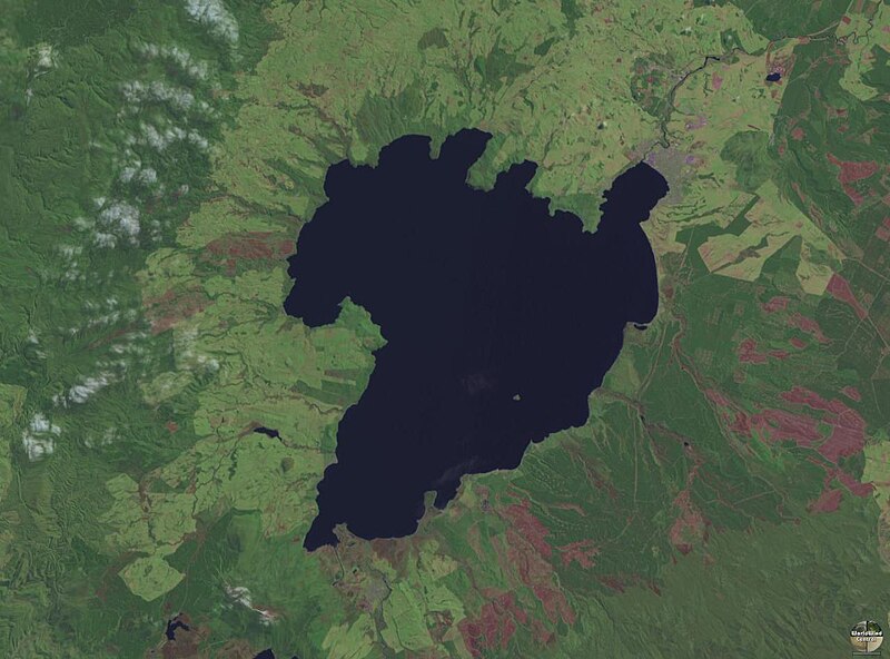
| Digər versiyalar | Derivative works of this file: Lake Taupo landsat -square crop.jpg |

| Camera location | | View this and other nearby images on: OpenStreetMap |
|---|
Faylın tarixçəsi
Faylın əvvəlki versiyasını görmək üçün gün/tarix bölməsindəki tarixlərə klikləyin.
| Tarix/Vaxt | Kiçik şəkil | Ölçülər | İstifadəçi | Şərh | |
|---|---|---|---|---|---|
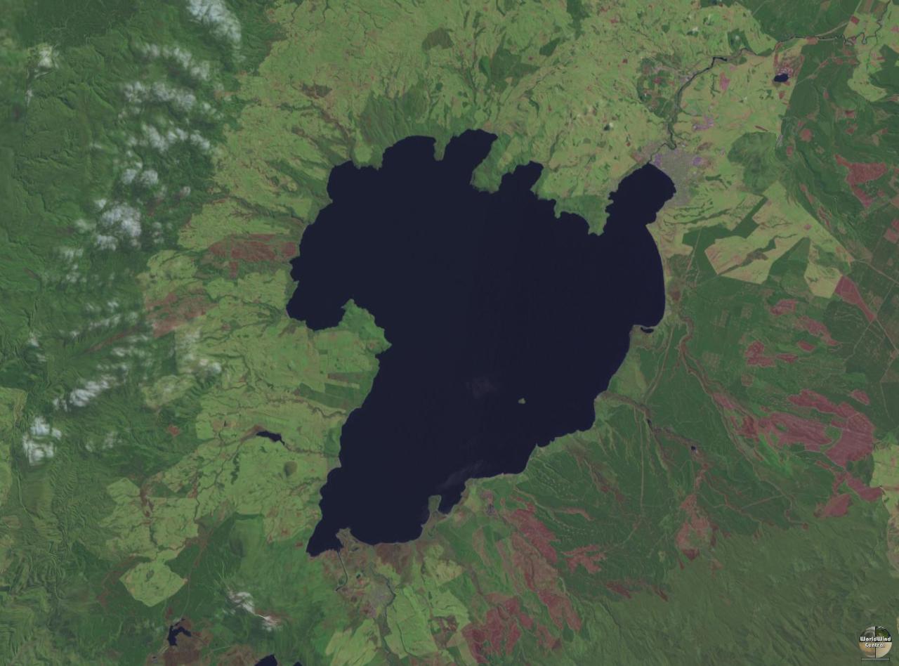
| indiki | 13:08, 27 iyul 2005 | | 1.280 × 948 (125 KB) | Centic | Lake Taupo showing some rock carvings from the 1970's. Photographed by Philo Vivero and placed into GFDL to help out Wikipedia. Moved from en-wiki, original edit-history: 08:46, 28 March 2004 . . PhiloVivero (56161 bytes) (Lake Taupo showing some rock c |
Fayl keçidləri
Aşağıdakı səhifə bu faylı istifadə edir:
Faylın qlobal istifadəsi
Bu fayl aşağıdakı vikilərdə istifadə olunur:
- ang.wikipedia.org layihəsində istifadəsi
- ar.wikipedia.org layihəsində istifadəsi
- bg.wikipedia.org layihəsində istifadəsi
- ca.wikipedia.org layihəsində istifadəsi
- cs.wikipedia.org layihəsində istifadəsi
- de.wikipedia.org layihəsində istifadəsi
- el.wikipedia.org layihəsində istifadəsi
- en.wikipedia.org layihəsində istifadəsi
- en.wikivoyage.org layihəsində istifadəsi
- eo.wikipedia.org layihəsində istifadəsi
- es.wikipedia.org layihəsində istifadəsi
- et.wikipedia.org layihəsində istifadəsi
- eu.wikipedia.org layihəsində istifadəsi
- fi.wikipedia.org layihəsində istifadəsi
- fr.wikipedia.org layihəsində istifadəsi
- fr.wikivoyage.org layihəsində istifadəsi
- ga.wikipedia.org layihəsində istifadəsi
- gl.wikipedia.org layihəsində istifadəsi
- he.wikipedia.org layihəsində istifadəsi
- hi.wikipedia.org layihəsində istifadəsi
- hu.wikipedia.org layihəsində istifadəsi
Bu faylın qlobal istifadəsinə baxın.