Fayl:West Yorkshire outline map with UK.png
Naviqasiyaya keç
Axtarışa keç
Daha yüksək versiyası yoxdur.
West_Yorkshire_outline_map_with_UK.png (800 × 558 piksel, fayl həcmi: 407 KB, MIME növü: image/png)
| Bu fayl "Vikimedia Commons"dadır və digər layihələrdə istifadə edilə bilər. |
 |
Faylın təsvir səhifəsinə get |
Xülasə
| İzah |
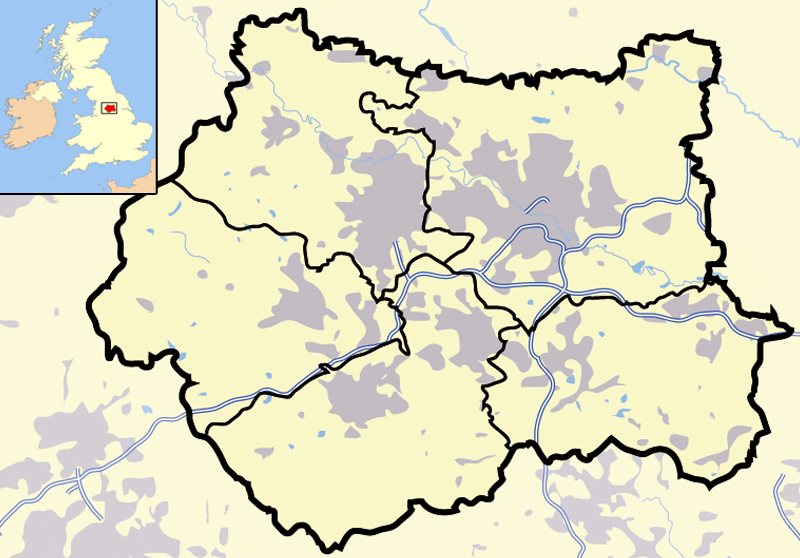
Map of en:West Yorkshire and surrounding area, with indented map of the British Isles for national context. County and borough boundaries in black, urban areas in grey, motorways in blue with white stripe, water bodies in light blue. |
| Tarix | 9 aprel 2007 (original upload date) |
| Mənbə | Transferred from en.wikipedia to Commons. |
| Müəllif | Jhamez84 at ingilis Vikipediya |
Lisenziya
| This work has been released into the public domain by its author, Jhamez84 at ingilis Vikipediya. This applies worldwide. In some countries this may not be legally possible; if so: Jhamez84 grants anyone the right to use this work for any purpose, without any conditions, unless such conditions are required by law. |
Orijinal yükləmə gündəliyi
The original description page was here. All following user names refer to en.wikipedia.
- 2007-04-09 23:11 Jhamez84 800×558×8 (416924 bytes) Map of [[West Yorkshire]] and surrounding area, with indented map of the British Isles for national context. County and borough boundaries in black, urban areas in grey, motorways in blue with white stripe, water bodies in light blue.
Faylın tarixçəsi
Faylın əvvəlki versiyasını görmək üçün gün/tarix bölməsindəki tarixlərə klikləyin.
| Tarix/Vaxt | Kiçik şəkil | Ölçülər | İstifadəçi | Şərh | |
|---|---|---|---|---|---|
| indiki | 21:02, 29 iyun 2007 | | 800 × 558 (407 KB) | Pit-yacker | {{Information |Description=Map of en:West Yorkshire and surrounding area, with indented map of the British Isles for national context. County and borough boundaries in black, urban areas in grey, motorways in blue with white stripe, water bodies in |
Fayl keçidləri
Bu faylı istifadə edən səhifə yoxdur.
Faylın qlobal istifadəsi
Bu fayl aşağıdakı vikilərdə istifadə olunur:
- cs.wikipedia.org layihəsində istifadəsi
- en.wikipedia.org layihəsində istifadəsi
- en.wikinews.org layihəsində istifadəsi
- es.wikipedia.org layihəsində istifadəsi
- id.wikipedia.org layihəsində istifadəsi
- Chapel Allerton
- Farnley
- Headingley
- Roundhay
- Seacroft
- Shadwell
- Pudsey
- Otley
- Garforth
- Templat:Location map West Yorkshire
- Rothwell
- Wetherby
- Holbeck
- Hunslet
- Armley
- Wortley
- Burley, Leeds
- Cross Gates
- Middleton
- Gipton
- Belle Isle
- Halton Moor
- Moortown
- Alwoodley
- Colton, Leeds
- Oakwood, Leeds
- Adel, Leeds
- Bramley, Leeds
- Katedral Leeds
- it.wikipedia.org layihəsində istifadəsi
- ml.wikipedia.org layihəsində istifadəsi
- qu.wikipedia.org layihəsində istifadəsi
- ug.wikipedia.org layihəsində istifadəsi