Fayl:Sakaiminato city center area Aerial photograph.2009.jpg
Naviqasiyaya keç
Axtarışa keç

Sınaq göstərişi ölçüsü: 800 × 379 piksel. Digər ölçülər: 320 × 152 piksel | 640 × 303 piksel | 1.024 × 485 piksel | 1.280 × 606 piksel | 2.560 × 1.213 piksel | 15.485 × 7.336 piksel.
Faylın orijinalı (15.485 × 7.336 piksel, fayl həcmi: 37,88 MB, MIME növü: image/jpeg)
| Bu fayl "Vikimedia Commons"dadır və digər layihələrdə istifadə edilə bilər. |
 |
Faylın təsvir səhifəsinə get |
Xülasə
| Warning | The original file is very high-resolution. It might not load properly or could cause your browser to freeze when opened at full size. |
|---|
| İzah |
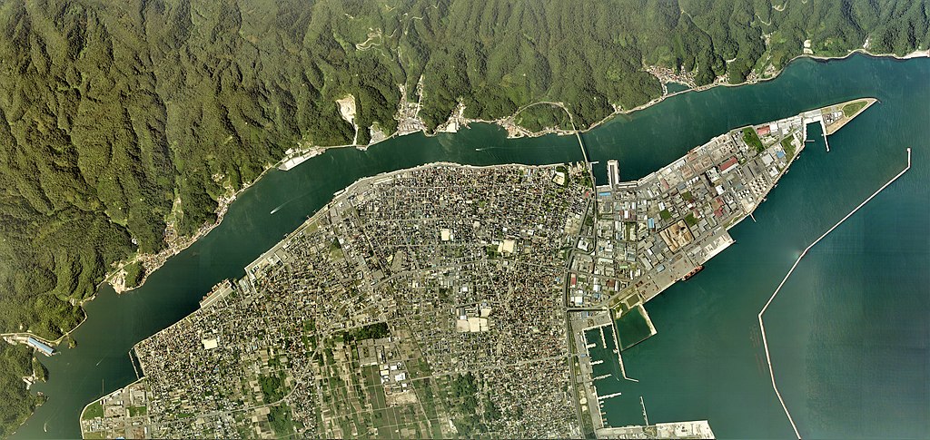
日本語: 境港市(鳥取県)中心部周辺の空中写真。CCG20092-C9-15からCCG20092-C9-27とCCG20092-C11-15からCCG20092-C11-26の合計25枚を合成作成。
English: Sakaiminato city center area Aerial photograph.2009 |
| Tarix | |
| Mənbə | 国土情報ウェブマッピングシステム |
| Müəllif | 国土地理院 |
Lisenziya

|
The copyright holder of this file, the Ministry of Land, Infrastructure, Transport and Tourism of Japan, allows anyone to use it for any purpose, provided that the copyright holder is properly attributed. Redistribution, derivative work, commercial use, and all other use is permitted. |
İstinad:
Copyright © National Land Image Information (Color Aerial Photographs), Ministry of Land, Infrastructure, Transport and Tourism
|
 |
This image is copyrighted by the Ministry of Land, Infrastructure, Transport and Tourism of Japan. For terms of use, see the stipulation to use of National Land Information (in Japanese) and message from MLIT (in Japanese and English). When you display this image on an article, include the following phrase in the description: "Made based on National Land Image Information (Color Aerial Photographs), Ministry of Land, Infrastructure, Transport and Tourism".
|
Faylın tarixçəsi
Faylın əvvəlki versiyasını görmək üçün gün/tarix bölməsindəki tarixlərə klikləyin.
| Tarix/Vaxt | Kiçik şəkil | Ölçülər | İstifadəçi | Şərh | |
|---|---|---|---|---|---|
| indiki | 03:11, 20 yanvar 2021 | | 15.485 × 7.336 (37,88 MB) | さかおり | Uploaded a work by 国土地理院 from 国土情報ウェブマッピングシステム with UploadWizard |
Fayl keçidləri
Aşağıdakı səhifə bu faylı istifadə edir:
Faylın qlobal istifadəsi
Bu fayl aşağıdakı vikilərdə istifadə olunur:
- ja.wikipedia.org layihəsində istifadəsi
- ru.wikipedia.org layihəsində istifadəsi