Fayl:Africa land cover location map.jpg
Naviqasiyaya keç
Axtarışa keç

Sınaq göstərişi ölçüsü: 635 × 600 piksel. Digər ölçülər: 254 × 240 piksel | 508 × 480 piksel | 813 × 768 piksel | 1.084 × 1.024 piksel | 1.525 × 1.440 piksel.
Faylın orijinalı (1.525 × 1.440 piksel, fayl həcmi: 523 KB, MIME növü: image/jpeg)
| Bu fayl "Vikimedia Commons"dadır və digər layihələrdə istifadə edilə bilər. |
 |
Faylın təsvir səhifəsinə get |

|
This map image could be re-created using vector graphics as an SVG file. This has several advantages; see Commons:Media for cleanup for more information. If an SVG form of this image is available, please upload it and afterwards replace this template with
{{vector version available|new image name}}.
It is recommended to name the SVG file “Africa land cover location map.svg”—then the template Vector version available (or Vva) does not need the new image name parameter. |


Xülasə
| İzah |
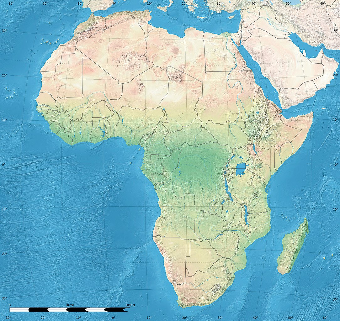
English: Simulated land cover map of Africa showing the natural aspect of the land with bathymetry as it could be seen from space; for geo-location purposes. Borders as in July 2011.
Français : Carte de la couverture du sol simulée de l'Afrique montrant l'aspect naturel des terres telles qu'elles seraient vues depuis l'espace, avec bathymétrie ; destinée à la géolocalisation. Frontières telles qu'en juillet 2011. Lambert azimutal equal-area projection, WGS84 datum
|
| Tarix | iyul 2010, updated 2011-07 |
| Mənbə |
Blank background map: Natural Earth II (public domain) by Tom Patterson, US National Park Service |
| Müəllif | Tom Patterson and Eric Gaba (Sting - fr:Sting) |
| İcazə (Faylın təkrar istifadəsi) |
Public domain |
| Digər versiyalar |
|


| Camera location | | View this and other nearby images on: OpenStreetMap |
|---|
Lisenziya
| This work was previously under Public Domain, or a Free License. It has been digitally enhanced and/or modified. This derivative work has been (or is hereby) released into the public domain by its author, Sting at the French Wikipedia project. This applies worldwide. In some countries this is not legally possible; if so:
|
Faylın tarixçəsi
Faylın əvvəlki versiyasını görmək üçün gün/tarix bölməsindəki tarixlərə klikləyin.
| Tarix/Vaxt | Kiçik şəkil | Ölçülər | İstifadəçi | Şərh | |
|---|---|---|---|---|---|
| indiki | 18:54, 14 iyul 2011 | | 1.525 × 1.440 (523 KB) | Sting | Sudan/South Sudan 07-2011 border update |
| 13:33, 19 iyul 2010 |  | 1.525 × 1.440 (440 KB) | Sting | Color profile | |
| 02:55, 7 iyul 2010 |  | 1.525 × 1.440 (447 KB) | Sting | Again... | |
| 02:49, 7 iyul 2010 |  | 1.525 × 1.440 (441 KB) | Sting | Public domain => no copyright mention | |
| 20:29, 3 iyul 2010 |  | 1.525 × 1.440 (447 KB) | Sting | == {{int:filedesc}} == {{Location|00|00|00|N|15|00|00|E|scale:30000000}} <br/>{{Information |Description={{en|Land cover map of Africa simulating the natural aspect of the land with bathymetry; for geo-location purposes.} |
Fayl keçidləri
Aşağıdakı səhifə bu faylı istifadə edir:
Faylın qlobal istifadəsi
Bu fayl aşağıdakı vikilərdə istifadə olunur:
- als.wikipedia.org layihəsində istifadəsi
- ar.wikipedia.org layihəsində istifadəsi
- ce.wikipedia.org layihəsində istifadəsi
- de.wikipedia.org layihəsində istifadəsi
- en.wikipedia.org layihəsində istifadəsi
- frr.wikipedia.org layihəsində istifadəsi
- fr.wikipedia.org layihəsində istifadəsi
- hr.wikipedia.org layihəsində istifadəsi
- Predložak:Klikabilna mapa start
- Predložak:Etnička karta/BiH/Fojnica
- Predložak:Etnička karta/BiH/Prozor-Rama
- Predložak:Etnička karta/BiH/Uskoplje
- Suradnik:Sombrero/sandbox
- Predložak:Etnička karta/BiH/Konjic
- Predložak:Etnička karta/BiH/Jablanica
- Predložak:Etnička karta/BiH/Kreševo
- Predložak:Etnička karta/BiH/Kupres
- Predložak:Etnička karta/BiH/Bugojno
- Predložak:Etnička karta/BiH/Brčko
- Modul:Location map
- Predložak:Location map
- Modul:Location map/data/Afrika
- Modul:Location map/doc
- Predložak:Location map/doc
- Modul:Location map/data/Afrika/doc
- inh.wikipedia.org layihəsində istifadəsi
- lv.wikipedia.org layihəsində istifadəsi
- myv.wikipedia.org layihəsində istifadəsi
- pt.wikipedia.org layihəsində istifadəsi
- ru.wikipedia.org layihəsində istifadəsi
- si.wikipedia.org layihəsində istifadəsi
- uz.wikipedia.org layihəsində istifadəsi
- vi.wikipedia.org layihəsində istifadəsi